Precision Weather Forecasting & Routing for Yachts Globally
Pacific Puddle Jump weather routing
Mexico, Panama & the US West Coast to the Marquesas
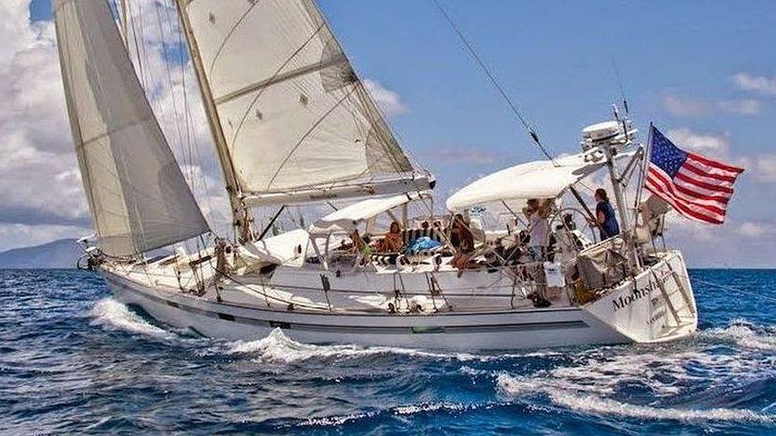
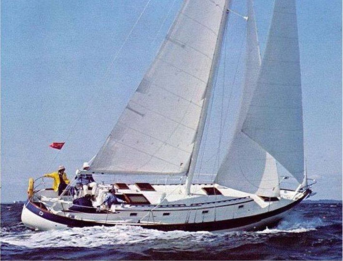
A client's Deerfoot 62, Puerto Vallarta to the Marquesas
Ocean-Pro Weather & Routing provides weather routing for sailing and motor yachts crossing from Mexico, Panama and the US West Coast to the Marquesas: the Pacific Puddle Jump.
The Puddle Jump is the longest open-ocean passage most cruisers will make: roughly 2,700 to 4,000 nautical miles with no easy place to stop. Fair winds for most of it, but two decisions shape the whole trip: when you leave, and where you cross the ITCZ (the doldrums).
We help with both. Before you go, we pick the departure window. Under way, we send routing updates so you reach the trades sooner, cross the doldrums at their narrowest, and arrive in the Marquesas safely and on schedule.
Five popular departure ports, one amazing landfall
We route Puddle Jumps from all three of the usual starting areas. Each has its own weather problem to solve.
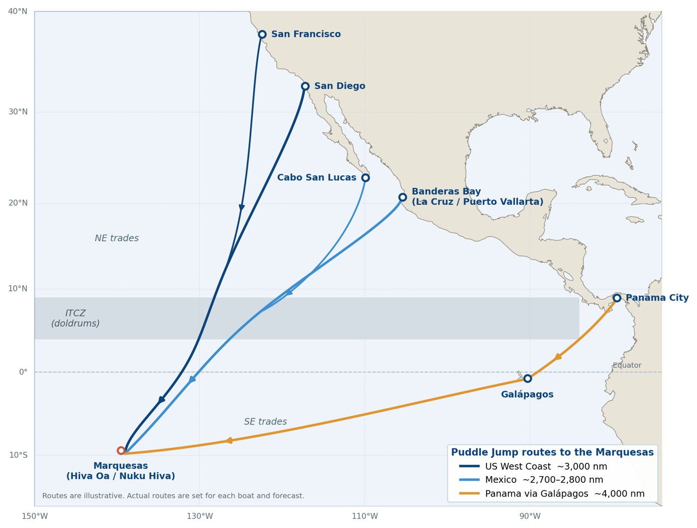
Typical routes to the Marquesas. Your route is set for your boat and the forecast at departure.
Departure
Typical ports
Approx. distance
Main weather question
Mexico
Banderas Bay (La Cruz, Puerto Vallarta), Cabo San Lucas, Barra de Navidad
2,700–2,800 nm
How far west or south to sail before turning for the ITCZ, and where to cross it
Panama via the Galápagos
Panama City / Las Brisas, La Playita; stop in the Galápagos
~850 nm, then ~3,000 nm
Light air and current to the Galápagos; then finding steady southeast trades
US West Coast
San Diego, Los Angeles, San Francisco Bay
~3,000 nm
Getting south past the Mexican coast fast, then crossing the ITCZ
When to leave
Most Puddle Jumpers leave between March and May. That timing fits between the end of the South Pacific cyclone season and the start of the eastern Pacific hurricane season off Mexico.
Within that window, the right day still matters. A good departure gets you into steady northeast trades within a few days. A poor one can mean days of light air along the Mexican coast, or a rough start in a northerly blow.
Our Departure Weather Window Report, sent 1–4 days before your tentative departure, reviews the days ahead and recommends the best (or least undesirable) day and time to leave the dock, with a chart of the route ahead.
Four weather zones between Mexico and the Marquesas
From Mexico or California, the passage runs through four weather zones. Our routing advice changes as you move through each one.
Leaving the coast — Winds near the Mexican coast are often light or fluky. We help you decide how far offshore to go to find the trades sooner.
The northeast trades — Usually fast, downwind sailing. We watch for squalls and for surges in wind and sea that make one route rougher than another.
The ITCZ (doldrums) — The zone of calms, squalls and shifting wind near the equator. Its width and position change from day to day. We monitor it daily on both the GFS and ECMWF models, along with the equatorial currents, to pick where you cross it.
The southeast trades to the Marquesas — Steady trades, but often with a larger swell from the south. We help you plan the best angle in and the timing of your landfall.
From Panama, the first leg to the Galápagos is usually light air and current, so fuel planning and timing matter most. From the Galápagos it is mostly a southeast-trades passage.
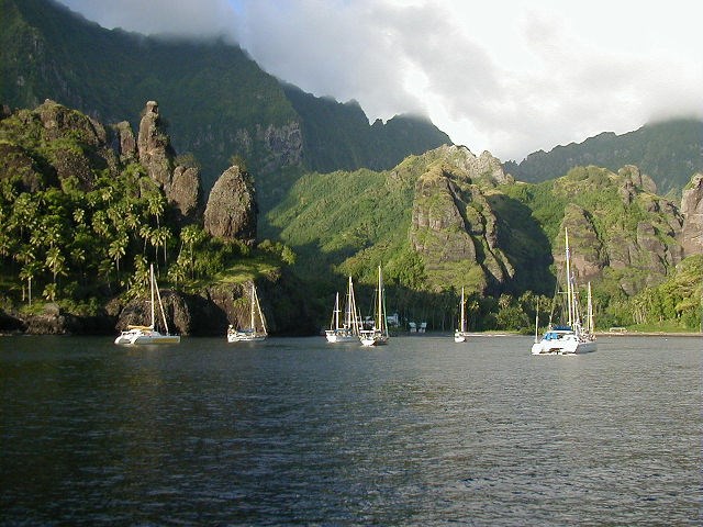
Landfall. Most boats clear in at Hiva Oa or Nuku Hiva. We time your final approach for a daylight arrival and steer you clear of squalls on the last night.
Hiva Oa, Marquesas — anchor down
What you receive
Every Puddle Jump routing is built around your boat: its speed under sail and power (your VPP or polar data, if you have it), your fuel range, and the limits you set for wind and sea.
Departure Weather Window Report — the best day and time to leave, with a chart of the route ahead.
Synopsis, Weather & Routing Report — Single-Model (GFS or ECMWF) or Dual-Model (both, side by side), with a recommended route, weather and seas tables, and a route chart.
Updates under way — your report daily or every other day, your choice, more often near the ITCZ or in changing weather.
Daily two-way communication — by email or WhatsApp, until you are safely anchored in the Marquesas.
One point of contact — Capt. Bob Cook plans your passage and stays with you to landfall.
See the full process and report formats. How we work →
Why owners and captains choose Ocean-Pro for the Puddle Jump
Ocean-Pro Weather is a proud sponsor of the Pacific Puddle Jump, and the South Pacific is one of our busiest routes. More than 125 vessels have crossed to French Polynesia with our routing.
Capt. Bob Cook — USCG-licensed Master, 20 years and 150,000 nm at sea, and 20 years providing global weather & routing for 1,000 clients.
Built for cruisers — we specialize in cruising sail and motor yachts, and plan around your boat and crew.
Both global models — we run GFS and ECMWF on every passage and tell you when they disagree.
Successful Puddle Jumps for monohulls and catamarans from 40 to 68 feet, departing Mexico, Panama, Costa Rica and the Galápagos.
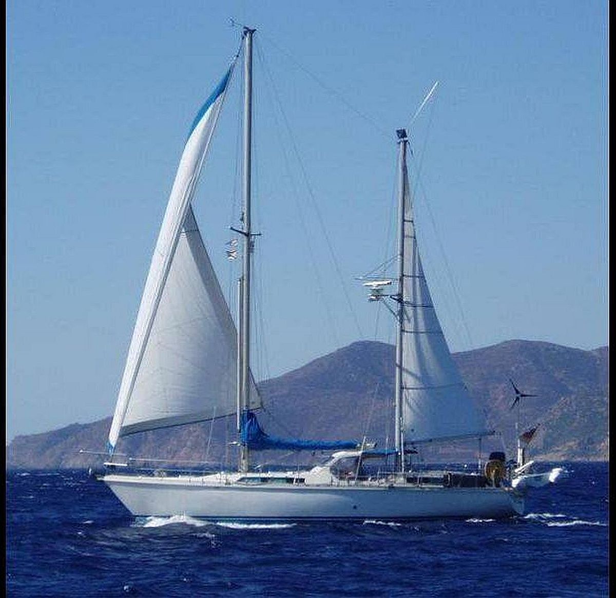
Some of our clients' Puddle Jump yachts
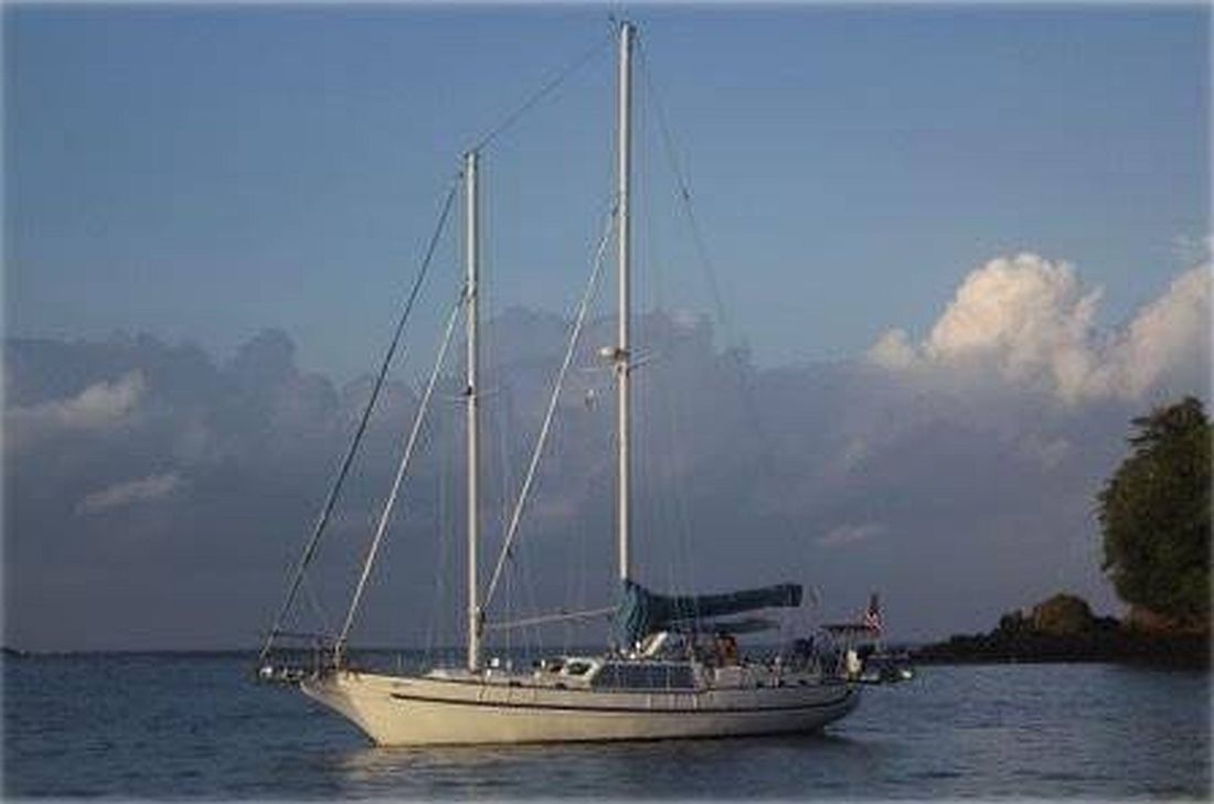
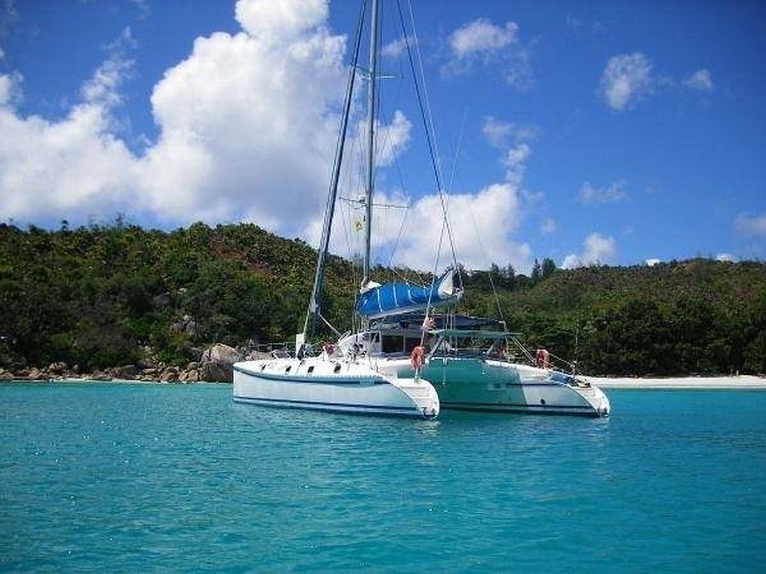
Amel 46 — Puerto Vallarta to the MarquesasValiant 40 — Panama to the MarquesasCrealock 60 — Galápagos to the MarquesasOutremer 55 — Golfito to the Marquesas
Ideally a week or more before you plan to leave the dock. That gives time to review your Client, Vessel & Passage Registration and start watching the departure window.
Do I still need a router if I have PredictWind or another routing app?
Apps are good at drawing a route from a forecast. A router decides which forecast to trust, explains why, and adjusts when the weather doesn't follow it. That matters most at the ITCZ, where the models often disagree.
Where is the best place to cross the ITCZ?
It changes every year and every week. The width and position of the doldrums move with the season and the weather. We choose the crossing point from the forecasts close to the time you get there.
Should I leave from Mexico or Panama?
It depends on where your boat is and whether you want to stop in the Galápagos. The Panama route is longer but usually avoids the ITCZ crossing; the Mexico route is shorter, with more steady trade-wind sailing. We route either.
How do I receive updates at sea?
By email or WhatsApp, over whatever connection you carry aboard (Starlink, Iridium GO! or similar).
Planning a crossing to the Marquesas this season? Tell us your boat, departure port and target dates, and we'll come back with a plan and a quote. Ask about our membership discount & referral program.