Precision Weather Forecasting & Routing for Yachts Globally
West Coast ↔ Hawaii weather & routing
California, Mexico & the Pacific Northwest to Hawaii, and home again
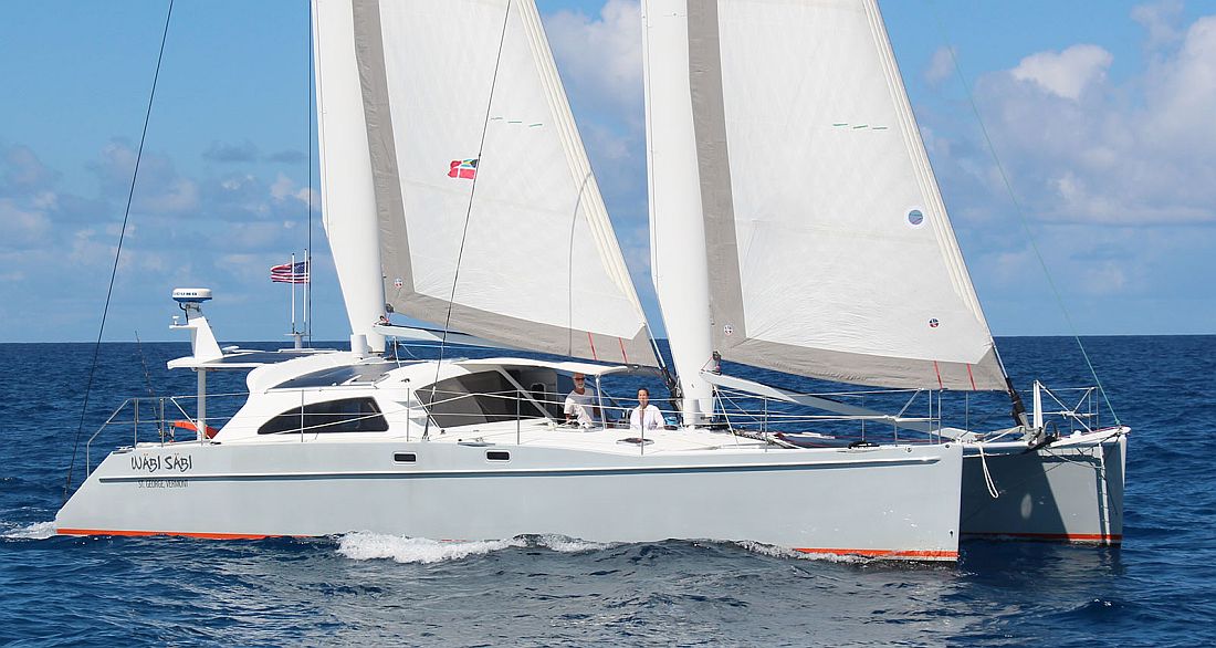
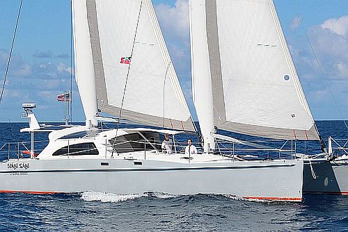
A Chris White Mastfoil 49, sistership of our client's Starship: California to Hawaii and home via Seattle
Ocean-Pro Weather & Routing provides weather & routing for sailing and motor yachts crossing between the US West Coast, Mexico and Hawaii, in both directions.
The trip out to Hawaii is mostly a downwind trade-wind passage of about 2,000 to 2,800 nautical miles. The trip home is different. You have to go north around the Pacific High, and the route you choose can add or save several days.
We help on both legs. Before you go, we pick the departure window. Under way, we send routing updates so you find the trades sooner on the way out, and get around the High without running out of wind or fuel on the way back.
Out to the islands, and home again
We provide weather & routing advice for all the usual routes to Hawaii and back. Each one has its own weather problem to solve.
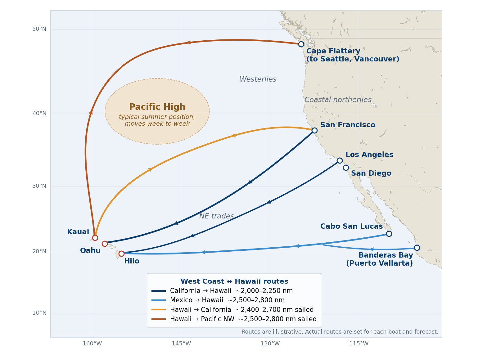
Typical routes to and from Hawaii. Your route is set for your boat and the forecast at departure.
Route
Typical ports
Approx. distance
Main weather question
California → Hawaii
San Francisco Bay, Los Angeles, San Diego → Hilo, Oahu, Kauai
2,000–2,250 nm
How to get through the strong coastal northwesterlies, and how far south of the Pacific High to sail
Mexico → Hawaii
Banderas Bay, Cabo San Lucas → Hilo
2,500–2,800 nm
Light air off Mexico, then the angle across the trades to Hawaii
Hawaii → California
Kauai (Hanalei, Nawiliwili), Oahu → San Francisco Bay, Southern California
~2,100 nm direct; often 2,400–2,700 nm sailed
The best route to the northeast to reach San Francisco or other California ports
Hawaii → Pacific Northwest
Kauai, Oahu → Cape Flattery / Strait of Juan de Fuca, Seattle, Vancouver
~2,300 nm direct; often 2,500–2,800 nm sailed
The best route north to north-northeast around the Pacific High, then east to Cape Flattery, Seattle, Vancouver or other coastal ports
When to leave
Out to Hawaii: most boats leave California between May and July. By then the winter gales have eased, and you arrive before the busiest part of the central Pacific hurricane season in August and September. From Mexico, most boats leave in spring, at the end of the cruising season there.
Home from Hawaii: most boats leave between June and August. In summer the Pacific High is at its strongest and farthest north, so the way around it is more predictable. Leave too early and you may meet late spring lows in the north. Leave too late and you face a tropical storm risk near Hawaii and autumn gales near the coast.
Our Departure Weather Window Report, sent 1–4 days before your tentative departure, reviews the days ahead and recommends the best (or least undesirable) day and time to leave the dock, with a chart of the route ahead.
Weather along the route
Out to Hawaii
Leaving the coast — Strong northwesterlies and steep seas often blow along the California coast, especially off Point Conception. We pick a day and a heading that get you offshore without a beating.
Around the south side of the High — Sail too close to the Pacific High and the wind dies. Sail too far south and you add miles. We set the line between the two from the latest position of the High.
The trades to the islands — Usually fast, downwind sailing, with squalls at night. We watch for tropical systems to the south and east, and plan your landfall around the strong winds in the channels between the islands.
Home from Hawaii
Leaving the islands — Most boats head north on a close reach in the northeast trades. It can be wet and lumpy for several days.
To California: the best route northeast — As you get north of the trades, the wind shifts and you can turn northeast toward San Francisco or another California port. Turn too soon and you sail into the calm center of the Pacific High; go too far north and you add miles and meet rougher weather. We follow the High from day to day and tell you when to turn, or when it is better to motor. Near the coast, we time your arrival around the strong northwesterlies and fog.
To the Pacific Northwest: north, then east — The route runs north to north-northeast around the Pacific High until the wind swings into the west, then east toward Cape Flattery, Seattle or Vancouver. We watch for lows crossing your route and time your arrival at Cape Flattery and the Strait of Juan de Fuca for the swell, wind and tide.
Landfall in Hawaii. Most boats arrive at Hilo, Oahu or Kauai. We time your final approach for a daylight arrival and plan around the strong winds and seas in the channels between the islands.
Leaving for home. Many boats start the trip home from Kauai, the farthest north and west of the main islands, to get a head start around the High.
Lanikai Beach, Oahu
What you receive
Every Hawaii routing is built around your boat: its speed under sail and power (your VPP or polar data, if you have it), your fuel range, and the limits you set for wind and sea. That matters most on the way home, when the plan for the High depends on how far you can motor.
Departure Weather Window Report — the best day and time to leave, with a chart of the route ahead.
Synopsis, Weather & Routing Report — Single-Model (GFS or ECMWF) or Dual-Model (both, side by side), with a recommended route, weather and seas tables, and a route chart.
Updates under way — your report daily or every other day, your choice, more often as you work around the High or in changing weather.
Daily two-way communication — by email or WhatsApp, until you are safely in port.
One point of contact — Capt. Bob Cook plans your passage and stays with you to landfall.
See the full process and report formats. How we work →
Why owners and captains choose Ocean-Pro for Hawaii
The eastern Pacific is one of our busiest regions. More than 20 vessels have sailed to or from Hawaii with our routing.
Capt. Bob Cook — USCG-licensed Master, 20 years and 150,000 nm at sea, and 20 years providing global weather & routing for 1,000 clients.
Built for cruisers — we specialize in cruising sail and motor yachts, and plan around your boat and crew.
Both global models — we run GFS and ECMWF on every passage and tell you when they disagree.
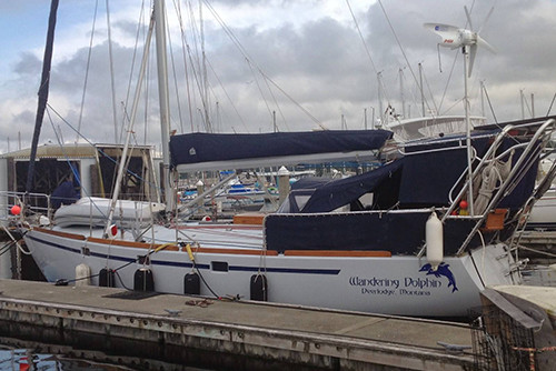
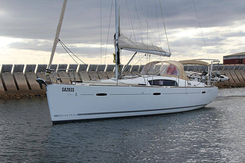
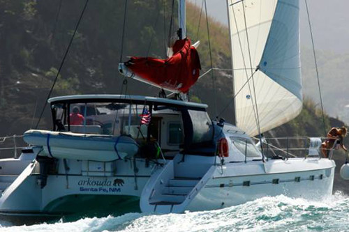
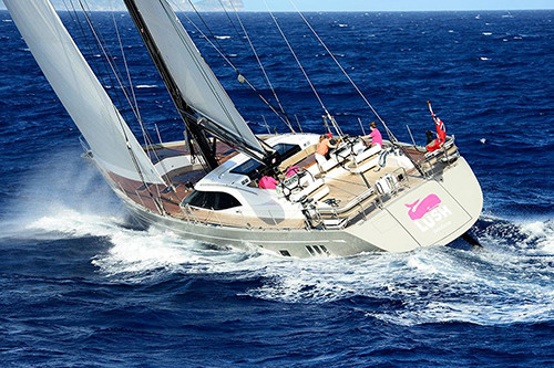
Successful Hawaii passages for monohulls and catamarans from 32 to 57 feet, sailing to Hawaii from California, the Pacific Northwest, Panama and French Polynesia, and home to Seattle and Victoria, BC.
Some of our clients' Hawaii yachts
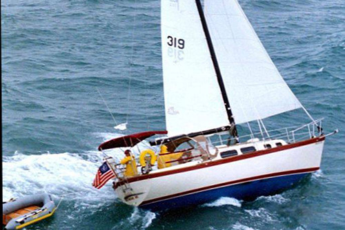
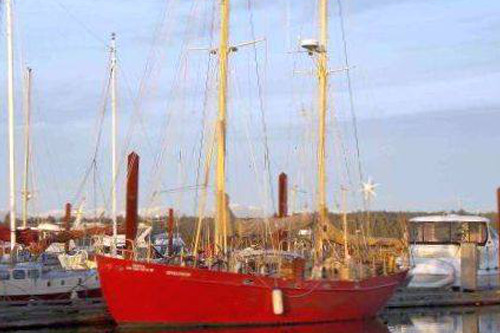
Pearson 323 — Hawaii to SeattleCustom 47 — Hawaii to Victoria, BCStevens 47 — Panama to Hawaii to SeattleBeneteau 43 — Seattle to Hawaii
Ideally a week or more before you plan to leave the dock. That gives time to review your Client, Vessel & Passage Registration and start watching the departure window.
Why is the trip home from Hawaii harder than the trip out?
On the way out the trade winds are mostly behind you. On the way home you have to go north around the Pacific High, through a zone of light air, and often into colder, rougher weather before you reach the coast.
How far north do I need to go before turning for the coast?
It depends on where the Pacific High is that week, and it moves. We decide from the forecasts close to the time you get there.
Should I motor through the Pacific High or sail around it?
It depends on your fuel range and the size of the High. We plan the route around how far you can motor, so you are not left short of fuel in a calm.
Do I still need a router if I have PredictWind or another routing app?
Apps are good at drawing a route from a forecast. A router decides which forecast to trust, explains why, and adjusts when the weather doesn't follow it. That matters most around the Pacific High, where small changes in its position move the best route by hundreds of miles.
How do I receive updates at sea?
By email or WhatsApp, over whatever connection you carry aboard (Starlink, Iridium GO! or similar).
Do you route motor yachts and catamarans?
Yes. We provide weather & routing advice for monohulls, catamarans and motor yachts, with fuel range built into the plan. See Motor yacht & superyacht weather routing.
Sailing to Hawaii, or bringing your boat home this summer? Tell us your boat, route and target dates, and we'll come back with a plan and a quote. Ask about our membership discount & referral program.