Precision Weather Forecasting & Routing for Yachts Globally
Eastbound transatlantic weather & routing
The Caribbean & the US East Coast, via Bermuda and the Azores, to Europe
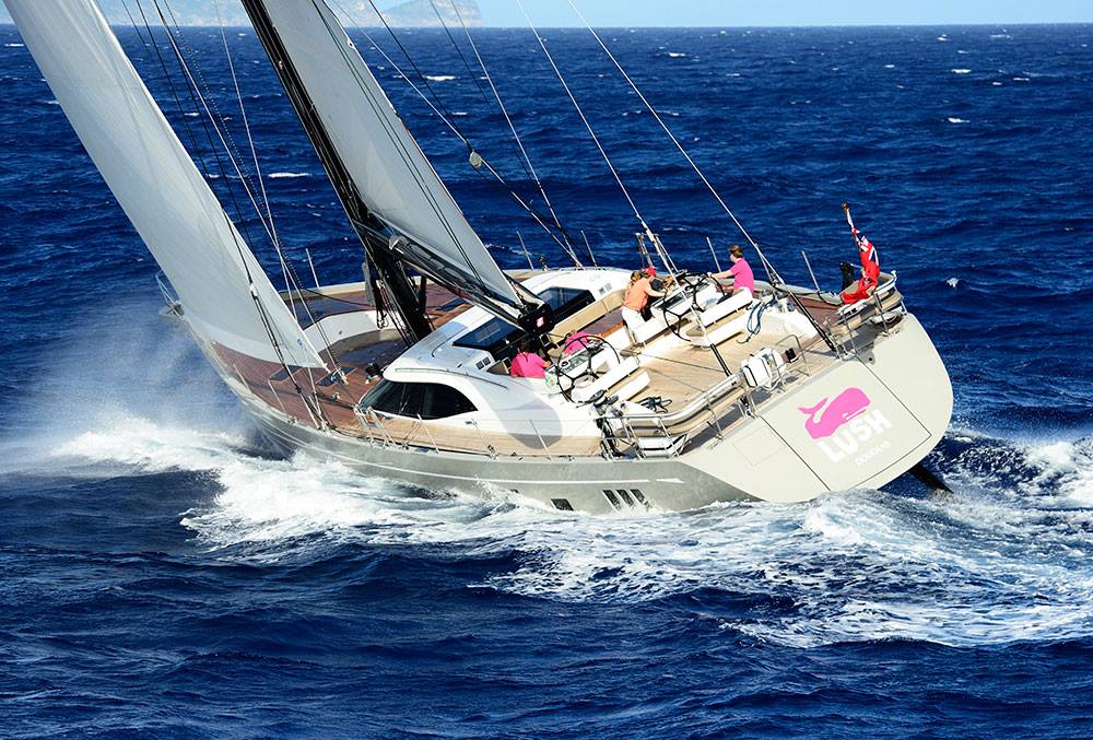
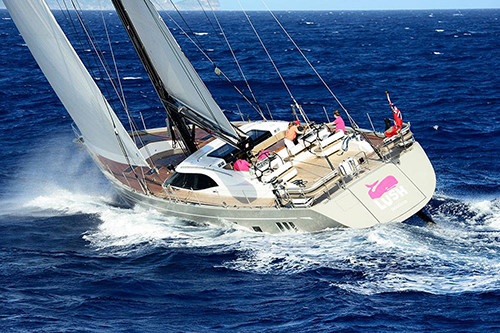
Our client's Oyster 88 Lush, Antigua to the Azores and Gibraltar
Ocean-Pro Weather & Routing provides weather & routing for sailing and motor yachts crossing the Atlantic eastbound, from the Caribbean and the US East Coast, via Bermuda and the Azores, to Europe.
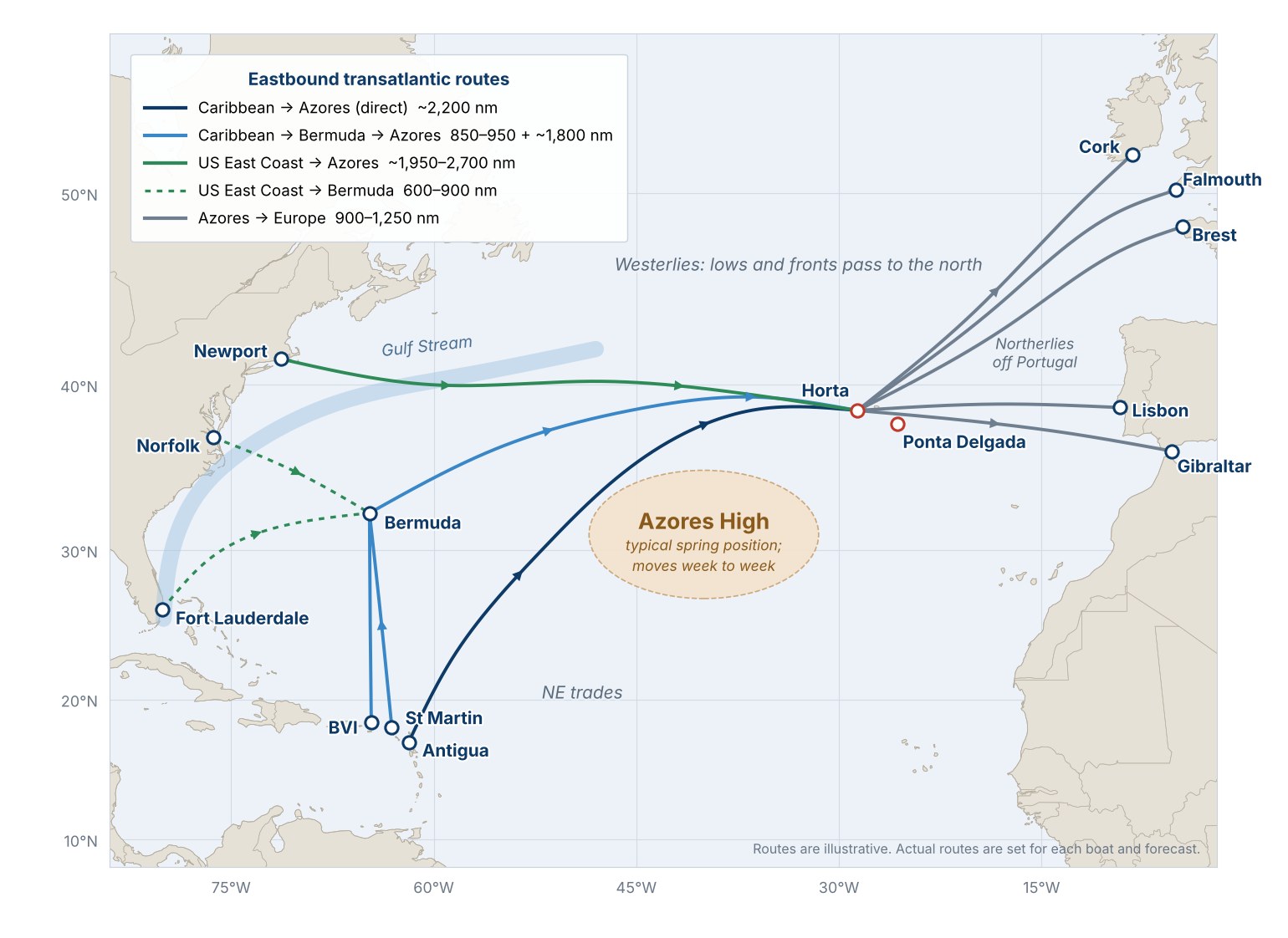
The eastbound crossing is a very different passage from the trip west. There are no steady trades to carry you. You sail north out of the trades, through the light air around the Azores High, and into the westerlies, where lows and fronts pass to the north. Two decisions shape the trip: when you leave, and how far north to go around the High.
We help with both. Before you go, we pick the departure window. Under way, we send routing updates so you keep the wind without getting too close to the lows, use your fuel where it counts, and arrive in the Azores and Europe safely and on schedule.
We provide weather & routing advice for eastbound crossings from all the usual starting points. Each has its own weather problem to solve.
Typical eastbound routes. Your route is set for your boat and the forecast at departure.
Route
Typical ports
Approx. distance
Main weather question
Caribbean → Azores (direct)
Antigua, St Martin, BVI → Horta
~2,200 nm
How far north to go before turning east, and how much light air to motor through around the Azores High
Caribbean → Bermuda → Azores
Antigua, St Martin, BVI → Bermuda → Horta
850–950 nm, then ~1,800 nm
Timing the stop in Bermuda, then fronts and lows on the leg to the Azores
US East Coast → Azores
Florida, Norfolk, Newport (often via Bermuda) → Horta
~1,950–2,700 nm direct; Bermuda is 600–900 nm from the coast
Crossing the Gulf Stream safely, then the spring lows coming off the coast
Azores → Europe
Horta → Lisbon, Gibraltar, Cork, Falmouth, Brest
900–1,250 nm
Northerlies off Portugal, the Strait of Gibraltar, or lows in the Bay of Biscay and the Western Approaches
When to leave
Most boats leave the Caribbean between late April and early June, after the winter season there and before the Atlantic hurricane season starts on June 1. Boats from the US East Coast usually leave in May and June, once the spring gales have eased. Most reach the Azores in May and June and carry on to Europe in June and July.
Leave too early and you meet more of the late-winter lows and fronts crossing the North Atlantic. Leave too late and you risk an early tropical storm near the Caribbean or Bermuda, and lighter, less dependable wind around the Azores High.
Within that window, the right day still matters. Our Departure Weather Window Report, sent 1–4 days before your tentative departure, reviews the days ahead and recommends the best (or least undesirable) day and time to leave the dock, with a chart of the route ahead.
From the Caribbean, the crossing runs through four weather zones. Our routing advice changes as you move through each one.
North out of the trades — The first days are usually a close reach or beam reach in the trades, often wet and lively. We pick a day and a heading that get you north without a beating.
Around the Azores High — The key decision of the trip. Between the trades and the westerlies lies a zone of light air around the Azores High. Go too close to its center and you may motor for days; go too far north and you meet the lows. We follow the High from day to day and tell you how far north to go, and when it is better to motor.
The westerlies — North of the High, the wind swings into the southwest and west, and the sailing gets faster. Lows and their fronts pass to the north. We watch each one and keep you in the wind without getting too close to the strongest of it.
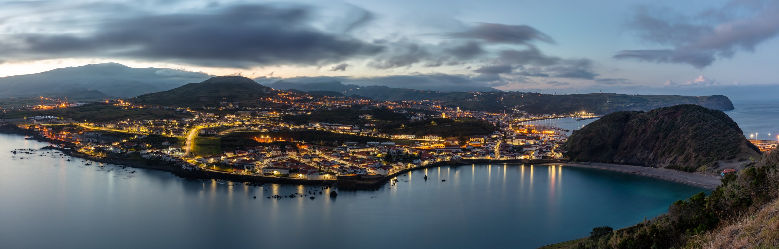
Approach to the Azores — Fronts can reach the islands even in summer. We help you time a daylight arrival at Horta or Ponta Delgada.
From the US East Coast, the first job is crossing the Gulf Stream. Wind against the current builds steep, dangerous seas, so we pick a crossing time and place with the wind blowing with the current, not against it. After that, the spring lows coming off the coast are the main concern.
On from the Azores to Europe, the questions depend on where you're headed. For Portugal and Gibraltar, it is the northerlies along the Iberian coast and the wind in the Strait of Gibraltar. For Ireland, the UK and France, it is the lows tracking toward the Bay of Biscay and the Western Approaches.
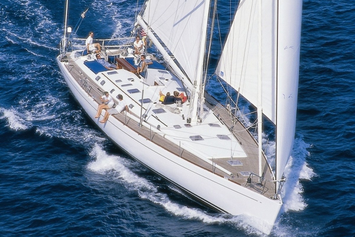
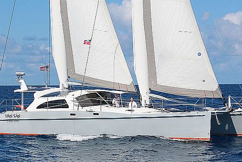
A client's JFA 75, St Martin via Bermuda and the Azores to Ireland and France
What you receive
Every transatlantic routing is built around your boat: its speed under sail and power (your VPP or polar data, if you have it), your fuel range, and the limits you set for wind and sea. On the eastbound crossing, fuel range matters most around the Azores High.
Departure Weather Window Report — the best day and time to leave, with a chart of the route ahead.
Synopsis, Weather & Routing Report — Single-Model (GFS or ECMWF) or Dual-Model (both, side by side), with a recommended route, weather and seas tables, and a route chart.
Updates under way — your report daily or every other day, your choice, more often as lows and fronts pass or the weather changes.
Daily two-way communication — by email or WhatsApp, until you are safely in port in the Azores or Europe.
One point of contact — Capt. Bob Cook plans your passage and stays with you to landfall.
See the full process and report formats. How we work →
Why owners and captains choose Ocean-Pro for the Atlantic
The Atlantic is one of Ocean-Pro's busiest regions. More than 200 vessels have crossed eastbound to the Azores and Europe with our routing.
Capt. Bob Cook — USCG-licensed Master, 20 years and 150,000 nm at sea, and 20 years providing global weather & routing for 1,000 clients.
Built for cruisers — we specialize in cruising sail and motor yachts, and plan around your boat and crew.
Both global models — we run GFS and ECMWF on every passage and tell you when they disagree.
Successful eastbound crossings for monohulls, catamarans and motor yachts from 30 to 140 feet, departing the Caribbean, the Bahamas, Florida, Georgia, Virginia and New England, to the Azores, Portugal, Gibraltar, the Mediterranean, Ireland, France and the Netherlands.
Some of our clients' eastbound yachts
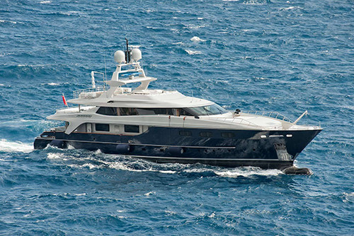
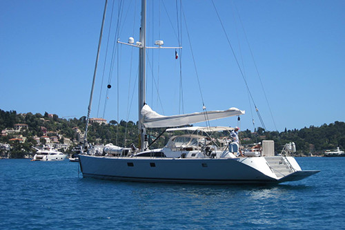
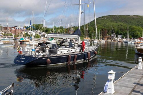
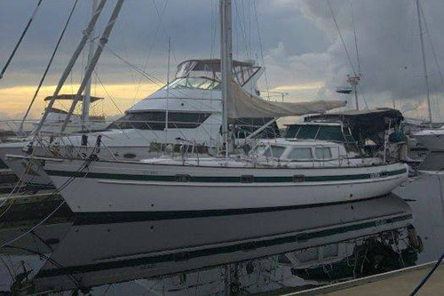
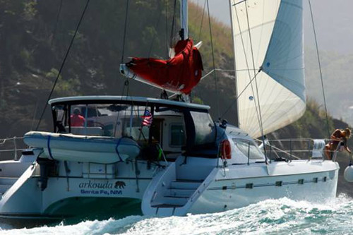
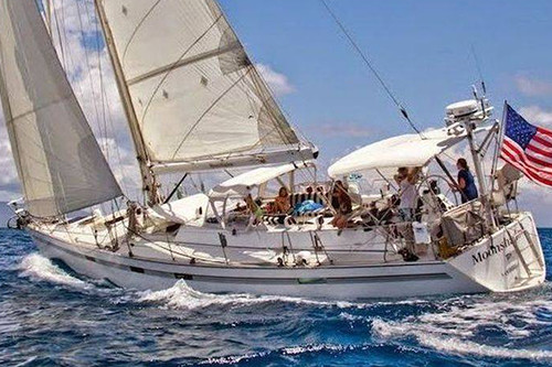
Baglietto 142 — Ft Lauderdale to Gibraltar via the AzoresSwan 82 — Jamaica to Mallorca via the AzoresSwan 65 — Ft Lauderdale to the Azores to BarcelonaOverseas 40 — Brunswick, GA to Horta to Lagos, Portugal
When should I book routing for an eastbound crossing?
Ideally a week or more before you plan to leave the dock. That gives time to review your Client, Vessel & Passage Registration and start watching the departure window.
Should I stop in Bermuda?
It splits the trip into two legs, gives you a chance to refuel and rest, and lets you wait there for a good window to the Azores. The direct route from the Caribbean is shorter. We provide weather & routing advice for either, and can help you decide once we see the forecast.
How far north should I go to get around the Azores High?
It depends on where the High is that week and where the lows are tracking. We decide from the forecasts close to your departure, and adjust under way.
How much fuel will I need?
Plan for some motoring through the light air around the Azores High. We build your fuel range into the route, so you're not left short in a calm.
Do I still need a router if I have PredictWind or another routing app?
Apps are good at drawing a route from a forecast. A router decides which forecast to trust, explains why, and adjusts when the weather doesn't follow it. That matters most around the Azores High and the lows to the north, where the models often disagree.
How do I receive updates at sea?
By email or WhatsApp, over whatever connection you carry aboard (Starlink, Iridium GO! or similar).
Do you route motor yachts and catamarans?
Yes. We provide weather & routing advice for monohulls, catamarans and motor yachts, with fuel range built into the plan. See Motor yacht & superyacht weather routing.
Crossing to the Azores and Europe this spring? Tell us your boat, departure port and target dates, and we'll come back with a plan and a quote. Ask about our membership discount & referral program.